


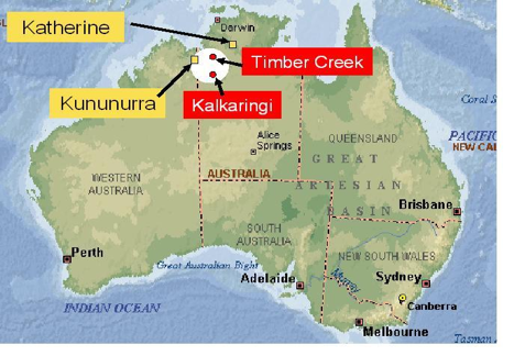
The speakers of Jaminjungan and Eastern Ngumpin languages, traditionally (at least for some centuries) occupied a contiguous area along both sides of the lower Victoria River in the Northern territories of Australia. This major tidal river and its tributaries constitute the most prominent geographical feature of this area, which otherwise consists of savannah and semi-desert country. The rivers cut through steeply-rising plateaus, forming mostly narrow valleys and gorges, and only partly wider plains (around the West Baines River). Climatically, the Victoria River District is part of the subtropical monsoon area in the northernmost part of Australia. There is heavy rainfall and flooding in summer (December to March), followed by an essentially dry and cooler season in winter (April to July), and a ‘build-up’ of increasing heat (August to November) until the next rainfall.
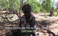
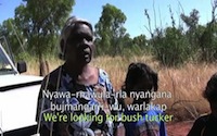
The speakers live in communities scattered over a vast area. Among these are Aboriginal Communities in the townships of Kununurra, Katherine, and Timber Creek, as well as smaller ‘outstations’, often located off major roads, such as Ningbingi, Marralam, Amanbidji (Kildurk), Bulla, Gilwi, Fitzroy, Barrac Barrac, Lingara, Yarralin, Pigeon Hole, Kalkarindji, Daguragu, Mistake Creek, and Wadeye (Port Keats).
The Victoria River District
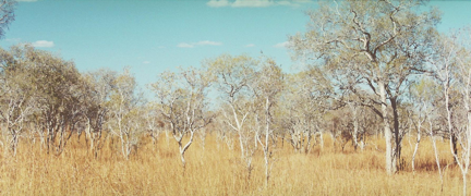
Savannah towards the end of the dry season
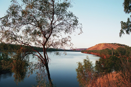
The Victoria River from Policeman’s Point in Timber Creek
The country (on the way to Top Springs)
Spring called Jampawurru (Mud Spring) located on a southern tributary of the Victoria River

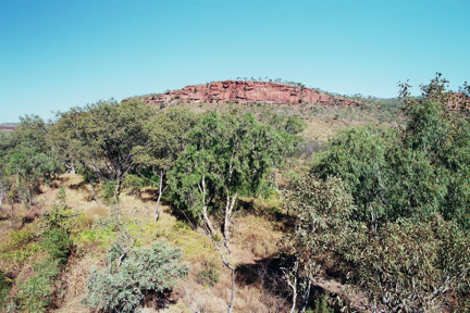
Sandstone formation on Bilinarra country called Winingili

Grass plain on location of old Afghan store at Kalkaringi